Project Highlights
RME has experience working on projects with the private, state, and federal sectors.
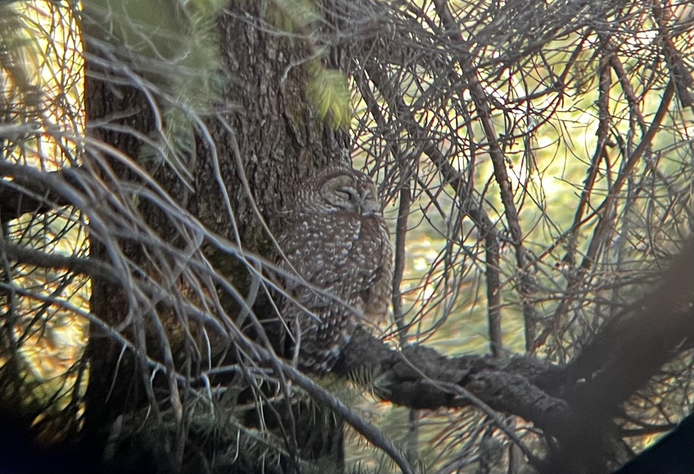
We’ve worked with the federal government on Mexican spotted owl PAC inventory and monitoring, as well as completing various Biological and Environmental Assessments for the Bureau of Land Management.
RME has worked with state government agencies as well, including the State Land Office, Department of Transportation, and State Forestry Divisions by assisting with NEPA documentation, providing support on road improvement activities, and preliminary site analysis.
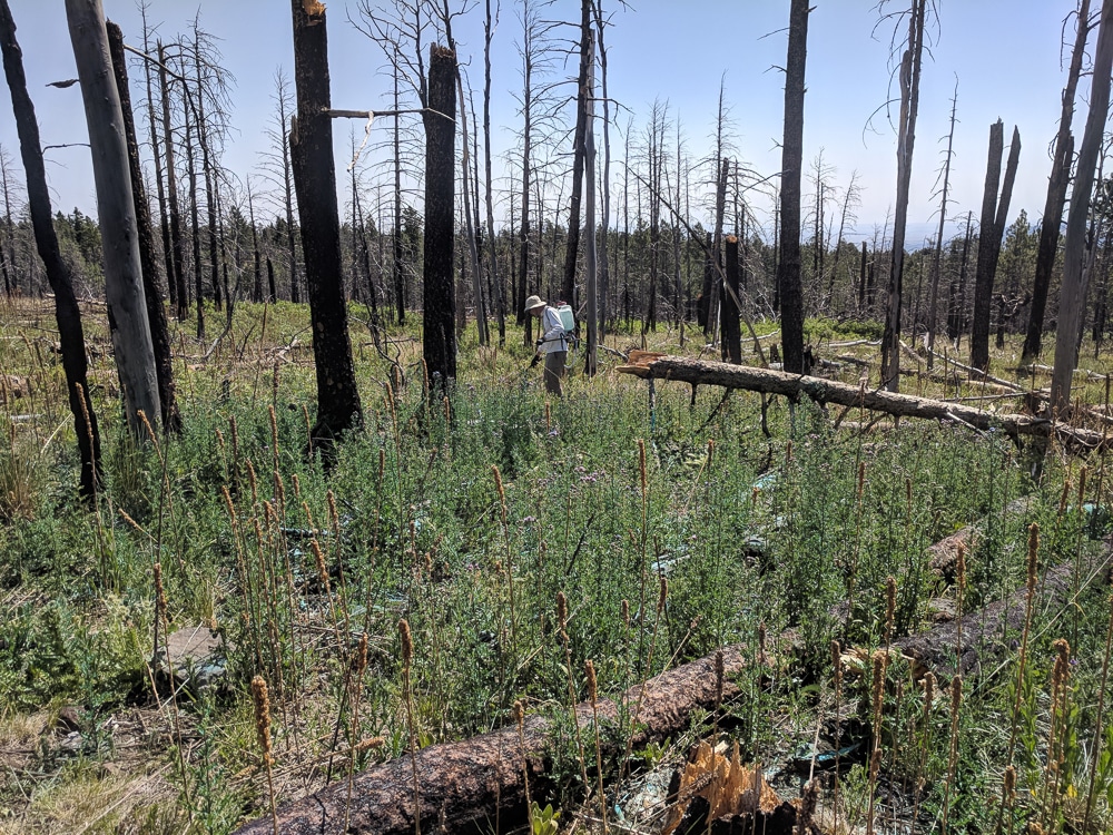
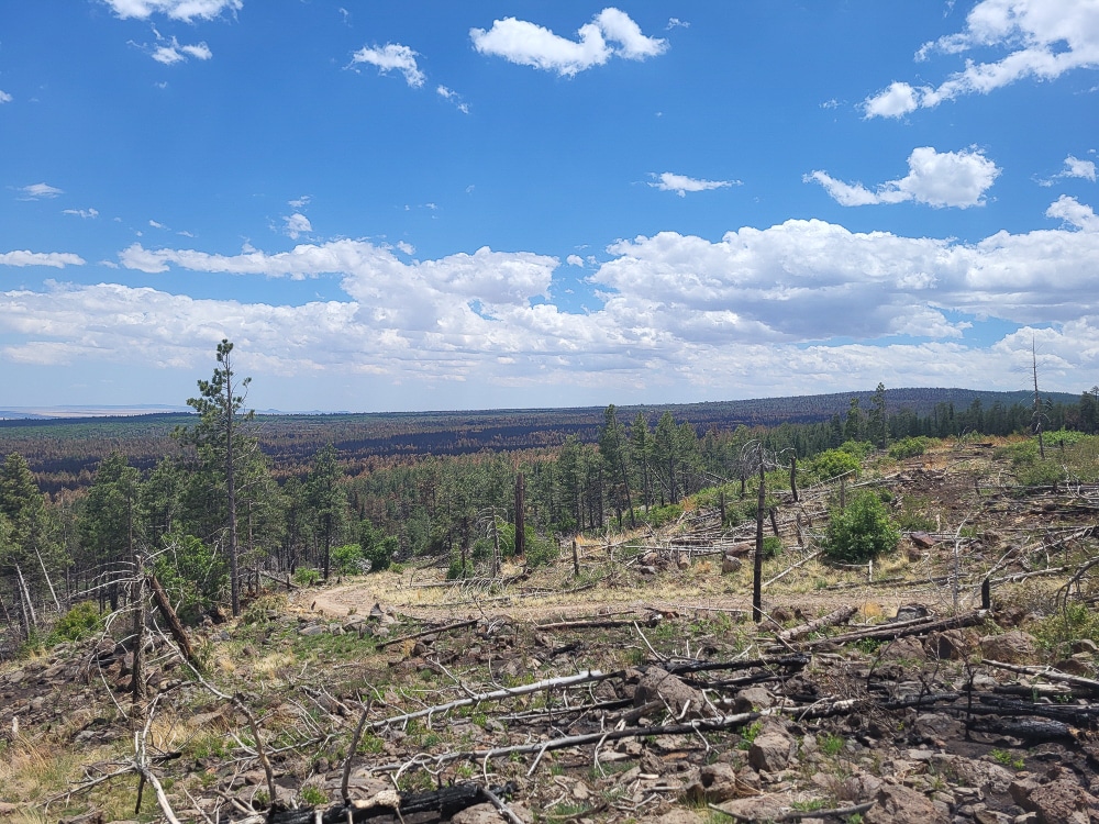
RME has also worked on various projects for private agencies, providing support on solar projects, energy storage facilities, and post-fire restoration projects. We have completed NEPA documentation and biological and botanical surveys, prior to project implementation. We have conducted 10,000+ acres of post-fire restoration inventories throughout the southwest, including on the Hermit’s Peak-Calf Canyon burn scar.
Biological
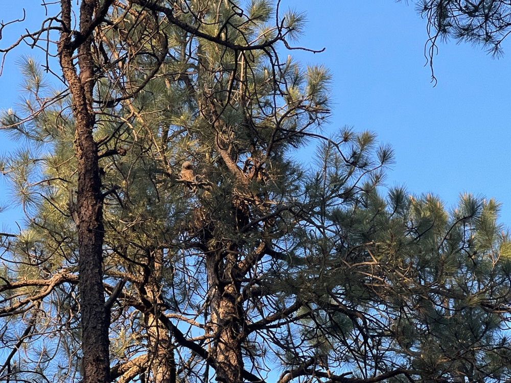
- Mogollon Rim Mexican Spotted Owl (MSO) Protected Activity Center (PAC) monitoring
- Monitor up to 26 MSO PACs to assist with forest restoration treatments in the Coconino National Forest
- Wester Tiger Solar Facility Biological Survey
- Preconstruction avian point counts throughout the project footprint
- Conduct Sonoran Desert tortoise presence/absence surveys
- Lynx habitat assessments in support of Ski Area improvements at Telluride Ski Resort.
Botanical
- HPCC noxious weed surveys
- Up to 1200 miles of noxious weed inventories along the Hermit’s Peak-Calf Canyon burn scar
- French Fire Environmental Assessment
- Botanical survey on 3000 acres within the French Fire burn scar to identify isolated populations of threatened and endangered plant species.
Environmental
- Village of Angel Fire (Resort)
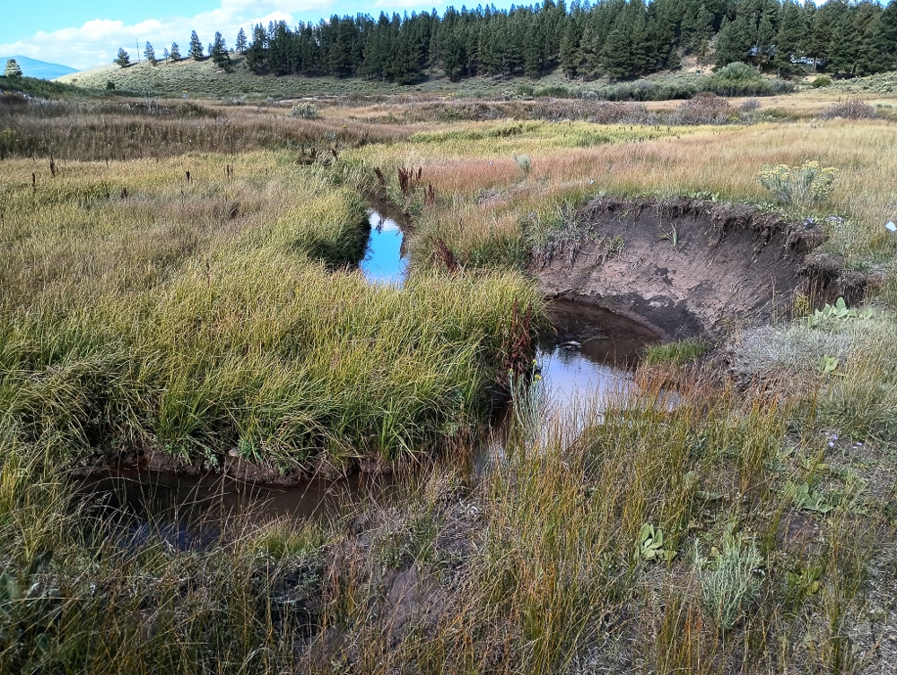
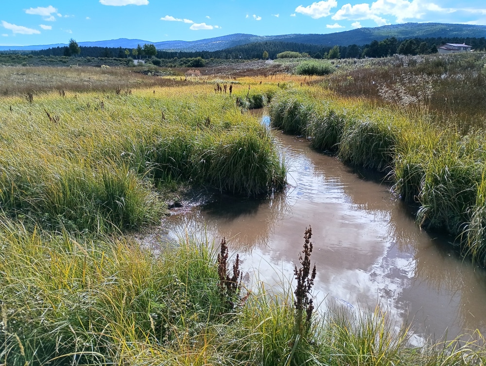
- Wetland delineation and river stewardship program grant preparation
- Approved Environmental Assessment for NM State Land Office
- Multi-Jurisdictional, Fire/Restoration Planning and Natural Resource
- Training in the 28,045 – Acre White Peak Area
- City of Albuquerque Multi Modal Improvements
- Prepared an Initial Site Assessment for CABQ to assess environmental conditions on the 20th and Bellamah Project Corridor.
Geospatial Analysis
- BLM cheat grass study
- Herbicide application plot study to assess the viability of herbicide usage on cheatgrass.
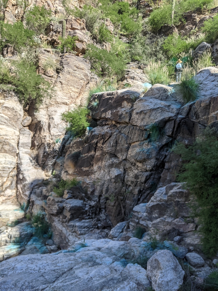
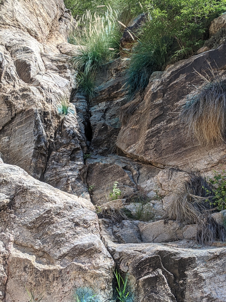
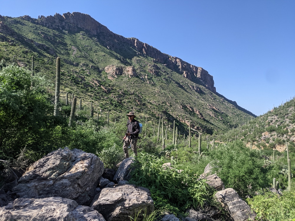
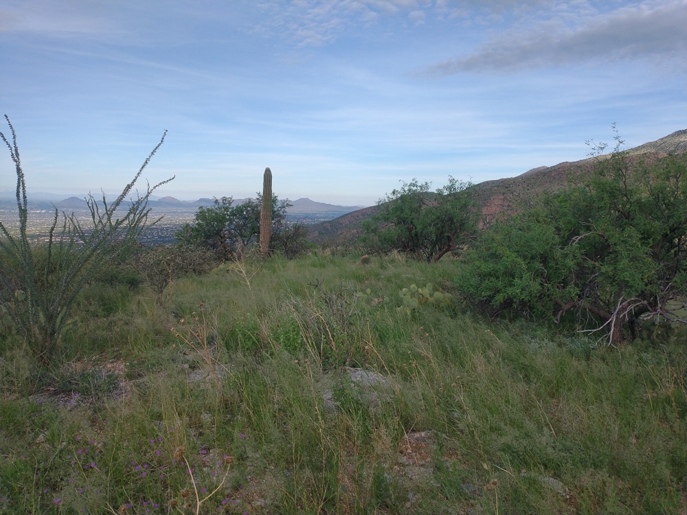
- Sabino Canyon invasive grasses survey and treatment
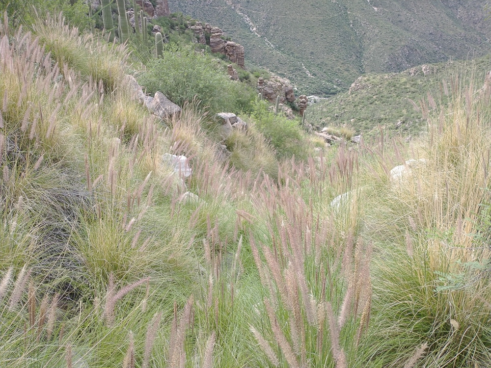
- Buffel grass and fountain grass noxious weed mapping and herbicide application treatment
- Jemez Mountain Salamander post-fire Critical Habitat Assessment
- Distributing forest inventory plots via remote sensing data in support of Ocate Collaborative Forest Restoration Project
- Develop comprehensive invasive species inventory geodatabase for BAER response project in the Bighorn Fire footprint on the Coconino National Forest
- MSO habitat assessment and survey design in support of multiple projects (mainly CFRP’s)
- Mapping and development of geodatabase depicting relictual ponderosa pine stands in the Crossroads management landscape (NMSLO).
Natural Resources
- (BLM) Copper Hill Vegetation Restoration Project Environmental Assessment, Taos and Rio Arriba Counties, New Mexico
- Need info from bower or lucas
- New Mexico Forestry Division FCI
- Forest stand inventory and geospatial analysis
- Dead Horse Ranch
- Preparation of forest stewardship plan on 6,000 acres, with geospatial analysis and forest stand examination.
Recreational Planning
- Frisco Backyard Inventory
- Biological resource inventory for Town of Frisco to assist with trail improvements and expansion.
- Northern goshawk surveys and lynx habitat verification
- White Peak Road & Trail Inventory Project
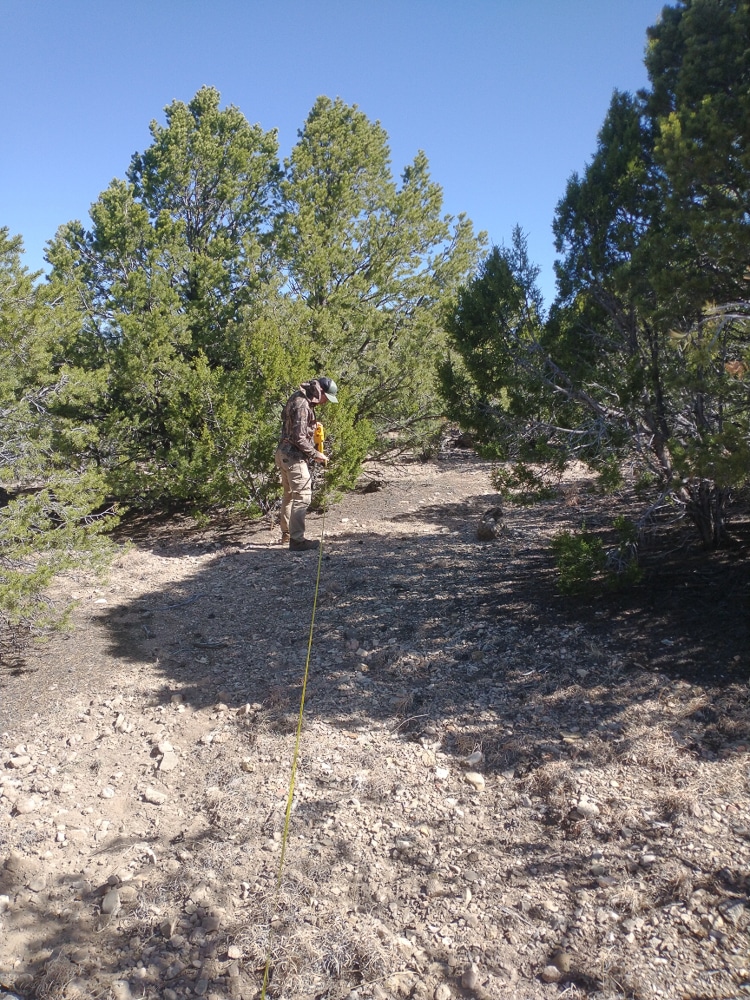
- Map all roads and trails throughout a 50,000 acre landscape
- Develop preliminary management recommendations for road maintenance, use category, public access, emergency response, and recreational opportunities.
- Develop detailed Road & Trail inventory geodatabase in support of NMSLO management.
Restoration
- BLM Taos Field Office
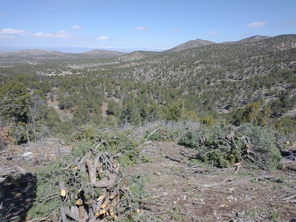
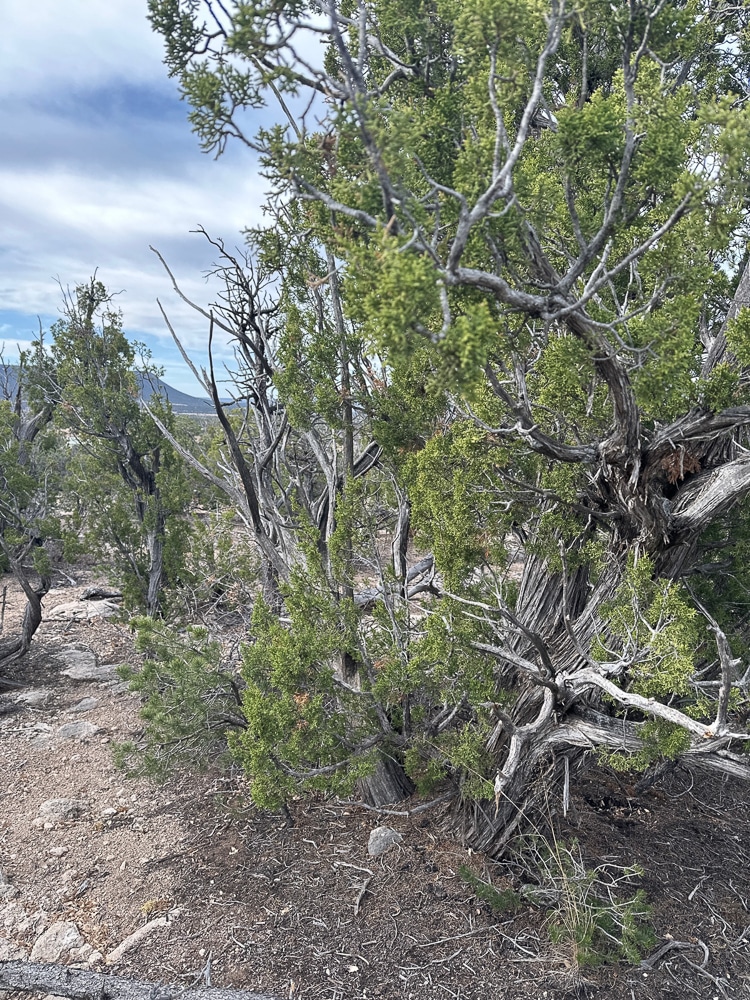
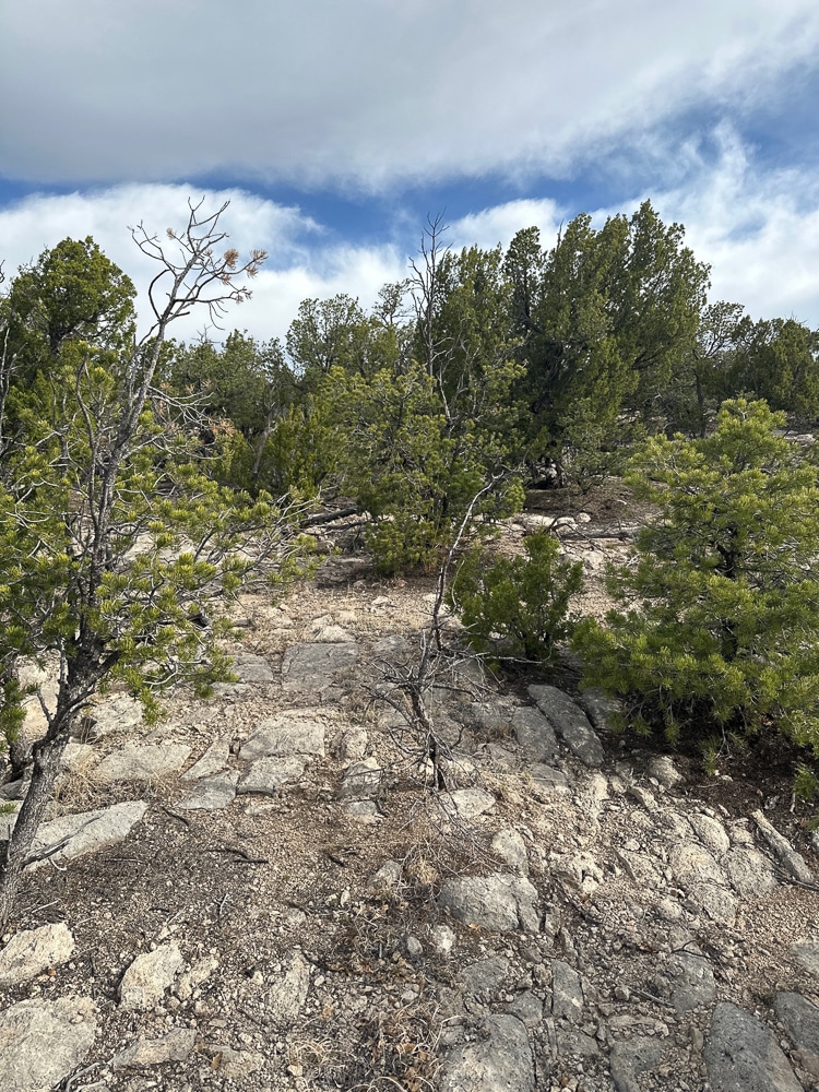
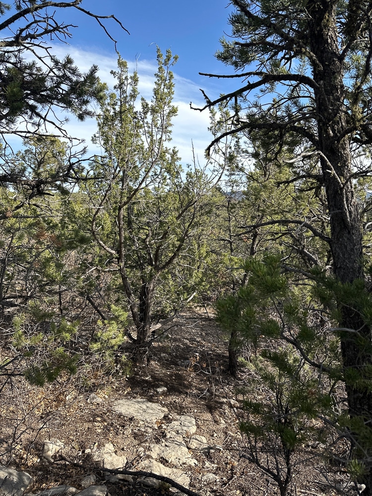
- Watershed restoration treatment on 80 acres of pinyon juniper woodland with pre and post treatment forest stand exams to assess percent changes in stocking density.
- County of Denver
- Fuels mitigation and forest restoration implementation. Hand and machine treatments on units varying from 50-500 acres to reduce fuel loading in the Denver area Wildland Urban Interface.
- City of Albuquerque
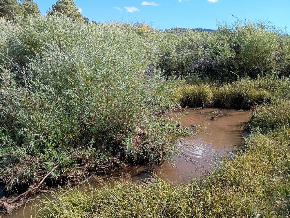
- Planted willow seedlings on five acres of City owned property for environmental mitigation of reinforced arroyos.
- All
- Biological
- Environmental
- Geospatial Analysis
- Natural Resources
- Recreational
- Restoration
